ggsky
ggsky is an extension for ggplot2 to draw sky maps with:
galactic coordinates (
coord_galactic())equatorial coordinates (
coord_equatorial())
It includes custom coordinate systems and helper scales for longitude/latitude labels.
Quick examples
library(ggplot2)
#> Warning: package 'ggplot2' was built under R version 4.5.2
theme_set(theme_light())

N <- 100
df1 <- data.frame(
  x = runif(N, 0, 360),
  y = runif(N, -90, 90)
)

ggplot(df1, aes(x, y)) +
  geom_point() +
  coord_galactic() +
  labs(title = "Galactic coordinate system")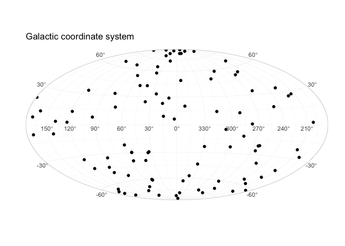
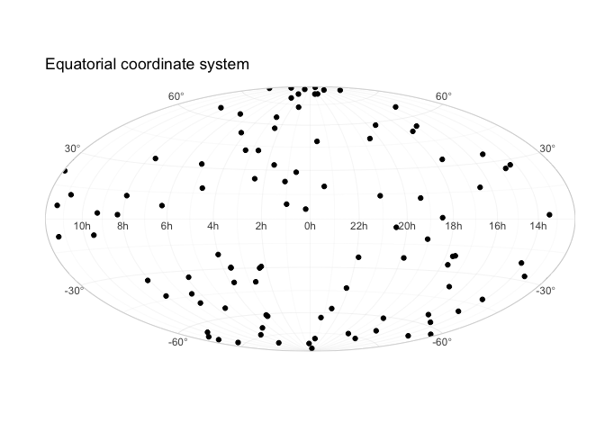
ggplot(df1, aes(x, y)) +
  geom_point() +
  labs(title = "Equatorial coordinate system") +
  coord_equatorial()